
In today’s fast-paced technological landscape, the demand for precise, efficient, and cost-effective surveying methods has skyrocketed. Among the leading innovations, drone mapping has emerged as a strong contender against traditional surveying techniques. Aeroyantra Technologies Private Limited specializes in drone mapping solutions, revolutionizing the way surveyors and land developers work. But how does drone mapping stack up against the age-old methods of traditional surveying? This blog explores both techniques to help you determine which is better suited for your needs.
Understanding Traditional Surveying
Traditional surveying methods have served mankind for centuries, employing tools like theodolites, total stations, and measuring tapes. Typically carried out by licensed surveyors, these methods involve manual measurements of land features and angles, producing precise data that can be used for a variety of applications—from construction projects to land partitioning.
Advantages of Traditional Surveying
- Legitimacy: Many jurisdictions require licensed surveyors to perform traditional surveys, ensuring the legal standing of the data.
- Established Methods: Experienced surveyors possess a profound understanding of land topographies and regulations, guiding clients through the nuances of land use.
- Detailed Findings: Complex sites often necessitate on-ground analysis, something traditional surveying excels at.
Disadvantages of Traditional Surveying
- Time-Consuming: Traditional surveying is inherently slower as it demands manual labor and extensive equipment setup.
- Labor-Intensive: A team of surveyors is typically required, further increasing costs.
- Limited Reach: Difficult terrains, like dense forests and steep slopes, can hinder traditional surveyors, delaying timelines and adding extra costs.
Exploring Drone Mapping
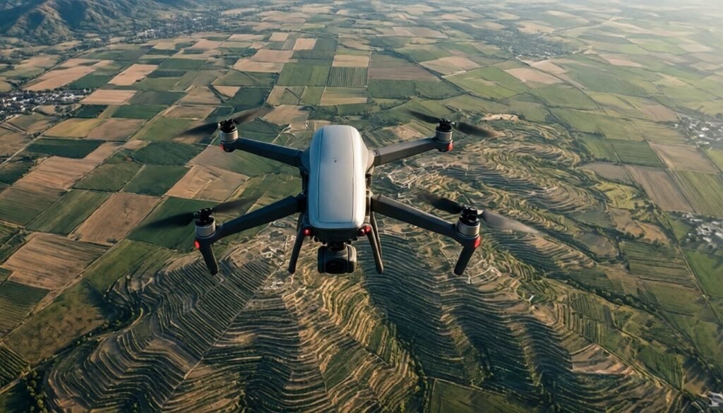
Drone mapping leverages aerial vehicles equipped with advanced imaging technology to collect data from above. The process involves flying a drone over a designated area and using software to stitch together high-resolution images and geographical data.
Advantages of Drone Mapping
- Speed and Efficiency: Drones can cover vast areas in a fraction of the time required for traditional surveys, enabling quicker project launches.
- Cost-Effective: Operating drones reduces labor costs and the need for extensive manpower, making surveying more affordable.
- Access to Hard-to-Reach Locations: Drones easily navigate tough terrains and inaccessible areas, ensuring comprehensive coverage.
- High-Resolution Data: Modern drones provide high-resolution images and 3D models, which enhance the precision of mapping.
- Enhanced Safety: Surveying challenging or dangerous sites via drone minimizes risk to human surveyors.
Disadvantages of Drone Mapping
- Regulatory Limitations: Drone operations are subject to stringent regulations and restrictions, depending on the region.
- Weather Dependency: Unfavorable weather conditions can impact drone flights, causing delays.
- Learning Curve: Acquiring the skills necessary to operate drones and analyze complex data may require training for teams new to technology.
Comparative Analysis: Drone Mapping vs Traditional Surveying
When pitted against traditional surveying methods, drone mapping is often viewed as a game-changer. Here’s a brief comparison of key factors:
| Factor | Traditional Surveying | Drone Mapping |
|---|---|---|
| Time Required | High | Low |
| Cost | High | Low |
| Labor | Significant | Minimal |
| Accessibility | Limited | High |
| Data Resolution | Varies | High |
| Legal Requirements | Necessary | Variable |
As illustrated, drone mapping outpaces traditional surveying in cost, speed, and accessibility, while traditional surveying still holds value in certain legal and complex scenarios.
Real-World Applications of Drone Mapping
Various industries leverage drone mapping for numerous capabilities, which include but are not limited to:
- Construction and Infrastructure: To monitor job sites and ensure compliance with plans and timelines.
- Agriculture: For crop health analysis and monitoring soil conditions.
- Environmental Monitoring: To assess ecological changes and manage natural resources expertly.
- Mining and Quarrying: For stockpile management and land evaluations.
- Utility Inspection: To inspect power lines and pipelines safely.
Aeroyantra Technologies Private Limited has been at the forefront of deploying drone mapping solutions, helping various sectors realize the immense benefits of integrating technology within surveying practices.
Conclusion: Which Is Better?
The comparison between drone mapping and traditional surveying is nuanced, and the choice between them ultimately depends on your specific needs and circumstances. While drone mapping offers efficiency, cost savings, and adaptiveness, traditional surveying provides expertise, legitimacy, and detailed on-ground analysis.
For modern projects requiring speed and flexibility, embracing drone mapping is highly advisable. However, for projects that necessitate compliance with legal standards or intricate analysis of complex situations, traditional methods should not be dismissed.
Incorporating drone mapping into your workflow can elevate your operations, streamline processes, and reduce costs. Aeroyantra Technologies Private Limited is here to guide you through this transition toward a more innovative and efficient surveying method.
FAQs
1. What is drone mapping, and how does it work?
Drone mapping involves using unmanned aerial vehicles (drones) equipped with cameras and sensors to survey land and capture high-resolution imagery. The images are later processed and transformed into maps or 3D models using mapping software.
2. Is drone mapping more expensive than traditional surveying?
No, drone mapping is generally more cost-effective because it requires fewer labor hours and less equipment setup. However, initial investments in drone technology and training may be needed.
3. Can drones operate in all weather conditions?
Drones operate best in clear weather conditions. Rain, snow, or high winds can hinder drone performance and necessitate rescheduling.
4. Are the results of drone mapping legally recognized?
Yes, drone mapping results can be legally recognized, particularly when conducted by certified operators and in accordance with local regulations.
5. How accurate is drone mapping compared to traditional surveying?
Drone mapping can achieve high levels of accuracy, often comparable to traditional methods. However, factors such as ground control points and the quality of equipment used can impact results.
By considering both drone mapping and traditional surveying, stakeholders can make more informed choices and choose the surveying method that best suits their projects.